THIS IS A DRAFT
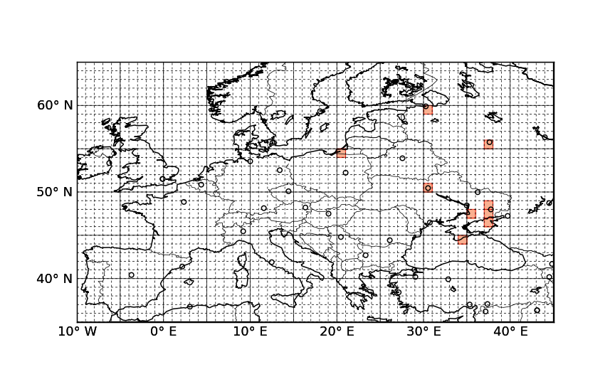
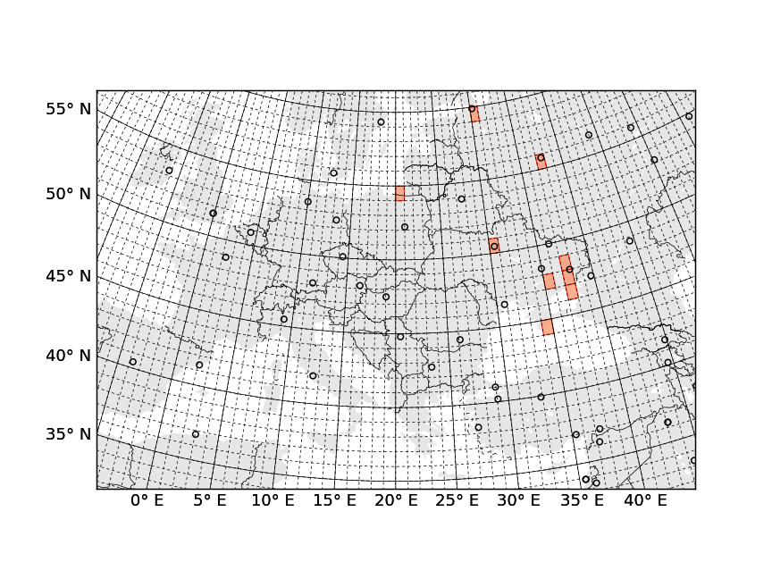
People like to map places they visit. There is a number of services that help to create a map of visited countries—just google for 'map visited countries'. In a global world the boundaries become less relevant, so it may be more fun to keep track of visits to another human abstraction, graticule sectors: parallels and meredians form a grid, one may choose sectors of one by one degree and record which were visited. (Idea by @frestelse5117.)
Images are clickable.
Source code. Read README for instructions.
Things to write about
- Properties of these two projections
- Links to other possible projections
- Libraries
- Basemap
- simplekml
- shpy
- Link to KML on Google Maps
- Extension to other services
- President Obama on 4sq
- Geotagged photos
- Locovidi